Show Bearing to Site
Use the Show Bearing to Site option to view a record's exact location if you need to guide yourself to that location. The information shown in the window tells you the distance from the site and the direction from your current location.
You can view the site location and bearing from either the List View or Single Record View. Refer to View Survey Records for more information on switching between the two views.
In List View, select a record with GPS coordinates and tap ![]() (or Alt-V) to open the View window.
(or Alt-V) to open the View window.
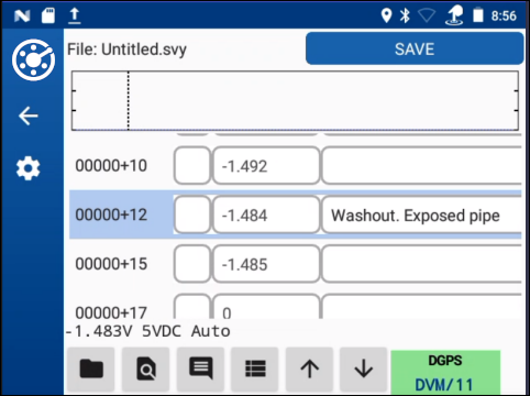
CI Survey - List View
In the View window, tap Show Bearing to Site.
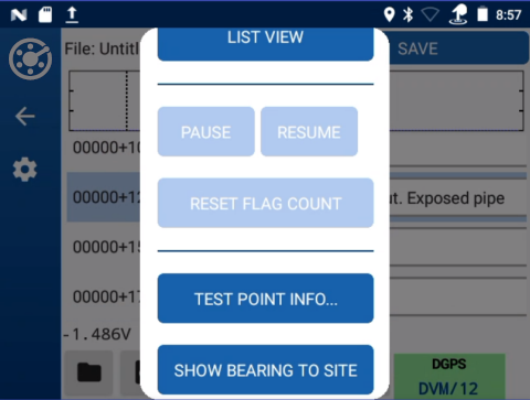
Site View Options - Show Bearing to Site
The Site Locator window opens with target location and bearing.
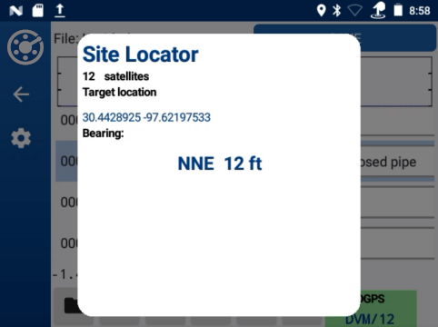
Site Locator in List View
In Single Record View, tap the blue bar that contains the recorded location information for that record.
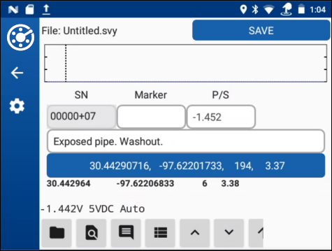
Single Record View - Location Information
The Site Locator window opens with target location and bearing.
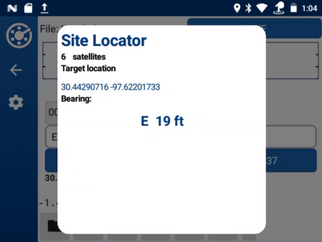
Site Locator Window - In Single Record View
The Site Locator window shows bearing and distance to the selected record location. The message Out of Range displays when the following conditions occur:
-
The difference in latitude and longitude is more than 20 miles.
-
Latitude is above 85 degrees north or below 85 degrees south. It is also expressed as 85-90N degrees latitude (northern hemisphere) and 85-90S degrees latitude (southern hemisphere).