Layer Selection: ArcMap Defined AOI
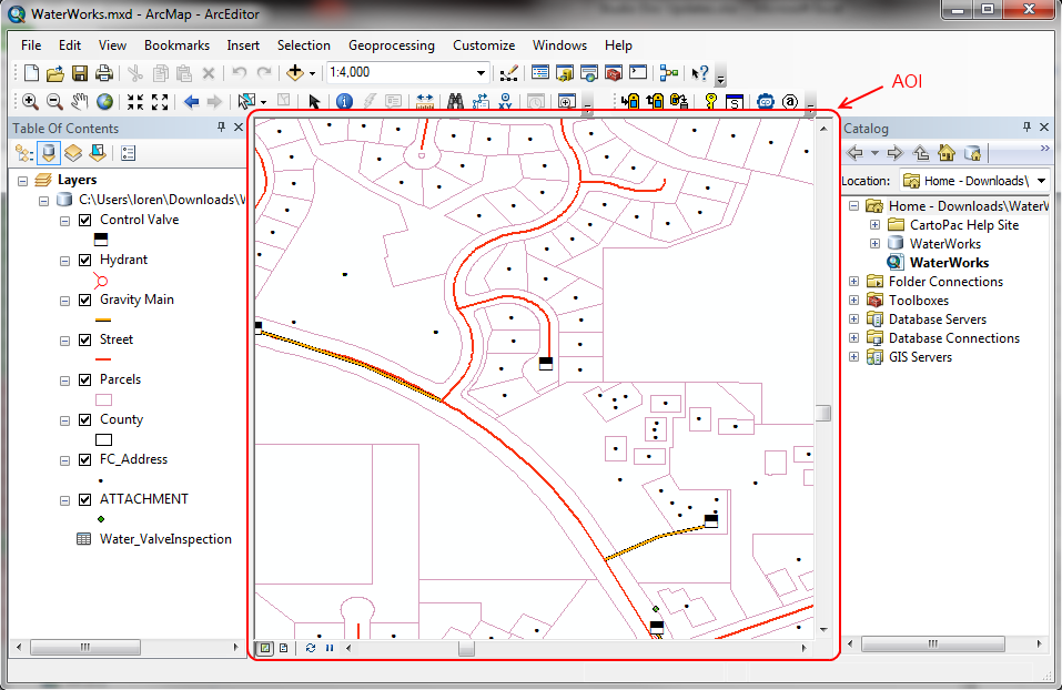
When a CartoPac project is embedded in an ArcMap (.mxd) solution, the data to be downloaded to a mobile device for field use may be defined by the AOI (area of interest) within ArcMap.
The AOI is set by the display in ArcMap (the selected portion of a map in the ArcMap Program's .mxd file is what is downloaded to CartoPac Mobile).

ArcMap AIO
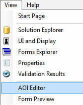
The AOI can be set in Studio standalone as well (this is mainly used for testing purposes only) by selecting AOI Editor from the View menu

View AOI Editor Option
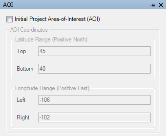
Once the AOI Editor window is opened, boundaries may be set to define the AOI.

AOI Editor
The AOI Editor is used in CartoPac Studio stand-alone projects without the use of ArcMap.