Measure Area Option
You can measure the distance within a drawn area on the map with the Measure Area option.
The units of measure shown in the Measure window are defined in the Options > Units > Measurements window. Refer to Tablet Options for additional information.
Complete the following steps to measure the distance within an area on the map:
-
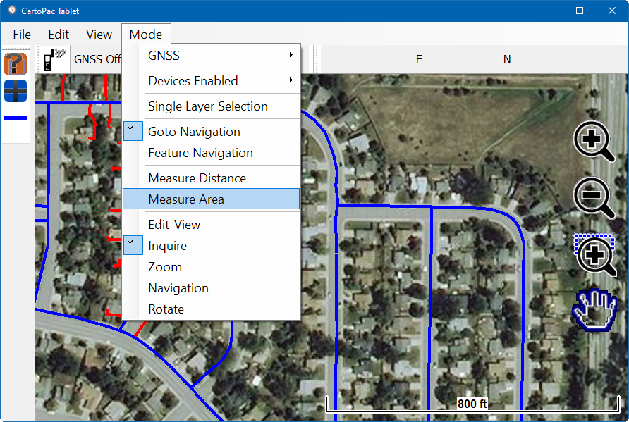
Select Mode > Measure Area.
-
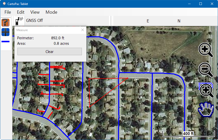
Select the starting point on the map and then at least two additional points to create a polygon. The points automatically connect to create an area. The Measure window updates to display the perimeter and area of the polygon drawn from the points (the points and lines are shown in red in the following example).
-
Select Clear in the Measure window to clear the drawn line. Repeat as necessary.

Mode Menu - Measure Distance

Perimeter and Area of a Three-point Polygon on Map