Map Pane
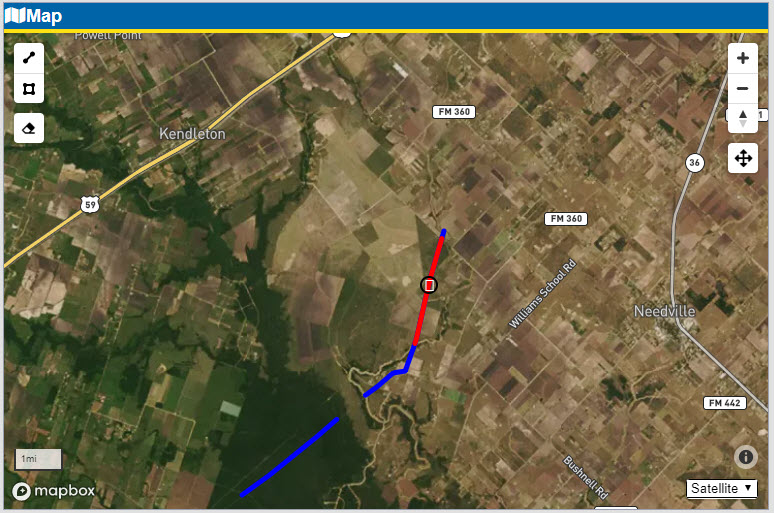
If geospatial data is available, survey data will be projected onto a map where it can be viewed alongside of the data. As you zoom and hover your cursor over the chart, the white circle marker on the map follows along. To have the chart follow the map, Click & Drag the white marker on the map.
Map Pane Image