Interpolate GPS
The Interpolate GPS option allows you to select two points and rubber-band all data points between the known GPS coordinates.
When survey data is modified![]() to refresh the survey and load the updated data in all of the panes.
to refresh the survey and load the updated data in all of the panes.
Complete the following steps to create an interpolation:
-
Move your mouse to a point on the chart and right-click on the chart to open the options menu and select Interpolate GPS.
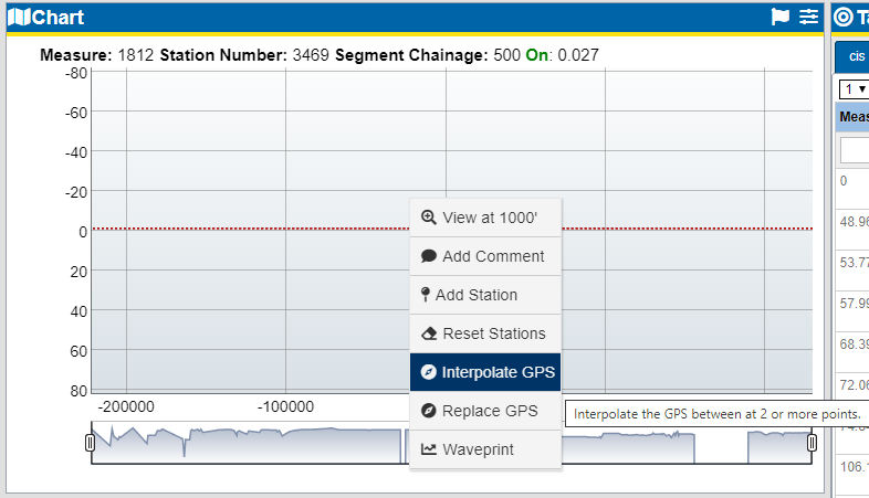
Create Interpolation
-
In the Create Interpolation window, ensure that the first point text box is highlighted.
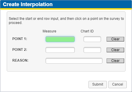
Create Interpolation Window
-
Click in the chart where the first point is located. The Create Interpolation window updates with the point's Measure and Chart ID.
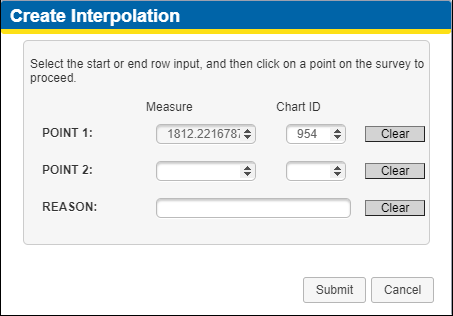
Create Interpolation - First Point
-
Click in Point 2 text box to highlight the field.
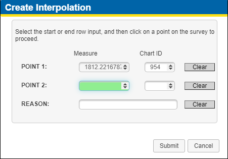
Create Interpolation - Point 2
-
Click in the chart where the second point is located. The Create Interpolation window updates with the point's Measure and Chart ID.
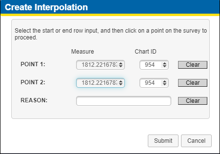
Create Interpolation - Second Point
-
If desired, add a reason in the Reason text field.
-
To clear any of the data, click the Clear button to the right of the field.
-
Click Submit to create the interpolation.
-
Click
 on the Survey Segment folder banner to refresh the data and have the interpolation display on the Map pane.
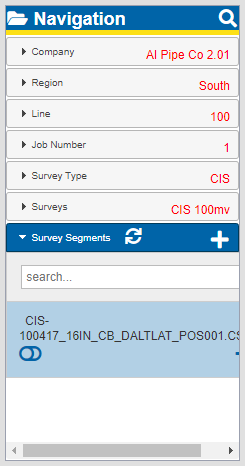
Refresh Survey Icon on Survey Segments Banner